Sediment Flows
PhD research project by Yasir Salih
contact: yasir_hrs@hotmail.com
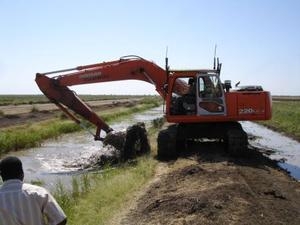
Along the Blue Nile River Basin, the rapid population growth led to fast land-use changes from forest to agricultural land. These changes together with the steep slope topography and inappropriate land-use practices in the catchment have resulted in severe soil erosion. Eroded sediment particles are then transported away by water. The result is undesirable downstream sedimentation, which decreases the lifetime of existing reservoirs, reduces hydropower generation and causes sedimentation of irrigation canals.
The general objective of this research is to develop a tool that allows following the sediment particles from the source (soil erosion) to their settlement more downstream. With this tool it will be possible to assess the effect of erosion control practices in the upper catchment in Ethiopia on selected sinks such as the reservoirs of Rosaires and Sennar and the Gezira scheme irrigation canals in Sudan.
To achieve this objective, requiring large scale modeling of sediment path and fate, new software combining the SOBEK-RE 1D code with the DELWAQ 2D code (in co-operation with Deltares) will be developed. The tool will be validated on the Blue Nile making use of available or newly collected data.
The expected output will be a new model to assess sediment fate a long the river networks. This model will also allow for studies of pollutant transport, since heavy metals and other pollutants bind themselves to the fine sediment particles that are transported in suspension by river flows.
